
Series: Free Satellite and Climate Data (6 parts)
What satellite data can do and where to get it for free: Copernicus, Google Earth Engine, Open-Meteo, African climate data sources and a live satellite tracker.

What Satellite Data Could Do for Climate and Food Security, and What Stops It Today
This post looks at what satellite data could do for problems like climate change, food security, and urban planning, and at what keeps it from doing that today. There is...

Copernicus Explained: What Each Sentinel Satellite Measures and How to Use the Free Data
Copernicus is the European Union's Earth observation programme. Its data is free for anyone: you create an account and you can download satellite images of almost anywhere on Earth, often...
Google Earth Engine: A Useful Tool for Satellite Imagery
I discovered Google Earth Engine (GEE), and I thought it might be helpful to share my experience with others who might need satellite images for their work. GEE is essentially...
Open Meteo archive free historical weather data
Have you ever wondered what the weather was exactly like on the day you were born? Or maybe you're building an app that needs to know how much it rained...
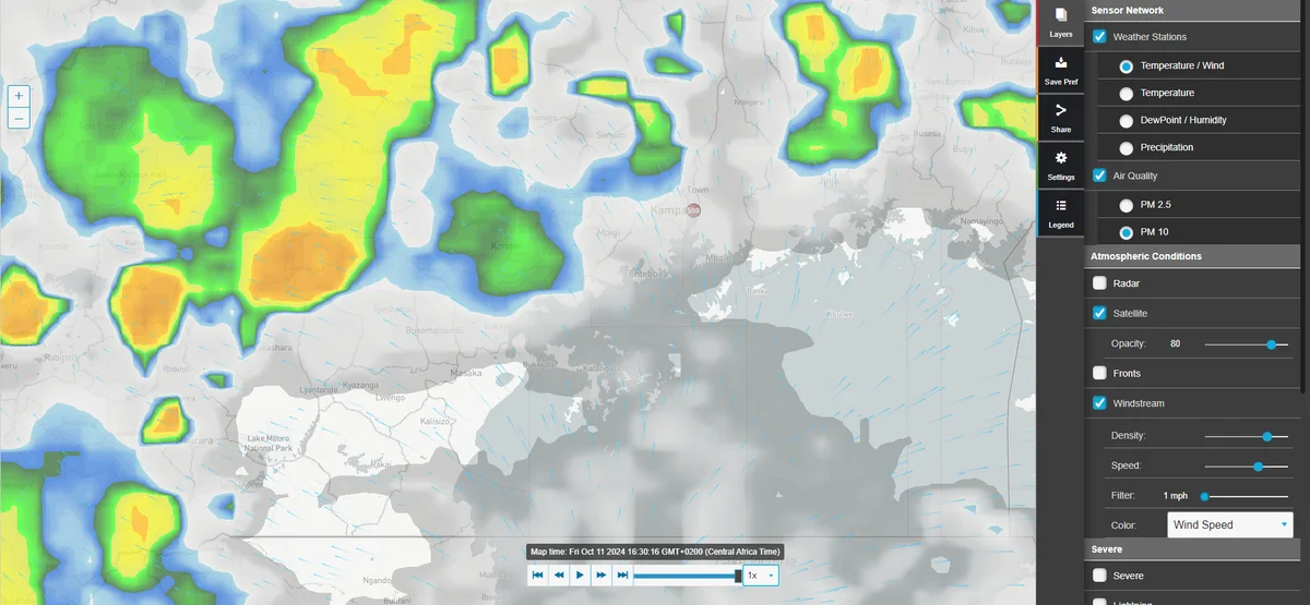
Top Websites for African Climate Data
When working on climate research or environmental projects in Africa, having access to reliable weather and climate data is essential. The African continent features a diverse range of climates, from...

KeepTrack: A Free 3D Website for Tracking Satellites in Real Time
I recently came across KeepTrack, a website that shows satellites orbiting Earth in 3D. Every tracked object is a coloured dot, and when you click one you get its name,...