
What Satellite Data Could Do for Climate and Food Security, and What Stops It Today
This post looks at what satellite data could do for problems like climate change, food security, and urban planning, and at what keeps it from doing that today. There is a large gap between what's possible and what's actually being done, so I cover both the potential and the current reality.
The untapped potential
Below are some use cases for satellite data, each with an example of it being used to solve a problem at scale.

Environmental monitoring & climate science
Satellites can monitor the planet at scales that ground-based methods alone can't match. Some of what they make possible:
- Real-time tracking of deforestation, wildfires, and land use changes across entire ecosystems. For example, NASA and the University of Maryland's Global Forest Watch uses Landsat imagery to track forest loss, and it shows that an area of tropical forest the size of Switzerland is lost every year.
- Monitoring of polar ice and sea level changes down to millimeter accuracy. The ESA's CryoSat-2 has measured Arctic sea ice thickness and documented a 13% decline per decade.
- Analysis of atmospheric composition, which helps us understand carbon cycles. Japan's GOSAT and NASA's OCO-2 satellites measure atmospheric CO₂ concentrations at different altitudes, which helps validate climate models.
- Early warning for natural disasters, which could save many lives. NOAA's GOES satellites provide hurricane formation data up to 72 hours before landfall, which helps with evacuation planning.
Agriculture & food security
Agriculture has a lot to gain from satellite data:
- Field-level crop health assessments, which make precision farming possible at scale. Planet's daily imagery helps farmers detect crop stress from pests or disease up to two weeks earlier than ground observation.
- Data-driven yield predictions, which could reshape crop insurance and market stability. The NASA Harvest program combines satellite data with ground measurements to predict wheat yields in Ukraine within 15% accuracy months before harvest.
- Regional soil moisture mapping and drought monitoring, to build resilience. The ESA's SMOS satellite measures soil moisture to depths of 5cm, which helps predict drought conditions across Africa.
- Irrigation efficiency analysis, for water that is getting scarcer. Stanford researchers use Landsat thermal data to detect irrigation inefficiencies, reducing water usage by up to 20% in California's Central Valley.
Urban planning & development
Cities are urbanizing fast and need better planning tools. Satellites can supply some of them:
- Detailed 3D city models for urban design and development. The German Aerospace Center (DLR) used TanDEM-X satellite data to create precise 3D models of over 100 cities, supporting urban heat island studies.
- Continuous monitoring of urban heat islands and air quality. NASA's ECOSTRESS instrument on the ISS maps urban temperatures at 70m resolution, which informs cooling strategies in cities like Los Angeles.
- Tracking of informal settlements and population movements, so services can be improved. The World Bank's Global Urban Footprint project uses TerraSAR-X data to map informal settlements in Mumbai, helping target infrastructure improvements.
- Infrastructure assessment and planning based on spatial data. Researchers use Sentinel-1 radar interferometry to detect millimeter-scale deformation in aging bridges across Europe.
Economic & social applications
Satellites also give us socioeconomic insights, not just physical measurements:
- Night lights as an indicator of economic activity. World Bank researchers use VIIRS night light data as a proxy for GDP in regions with limited economic statistics, which reveals economic patterns that official data misses.
- Better supply chain visibility and logistics. Orbital Insight monitors car counts at 250,000+ retail locations using Planet imagery to predict quarterly earnings before official announcements.
- Digital inclusion mapping in developing regions. Meta's Connectivity Initiatives use satellite imagery to identify areas without internet infrastructure, which helps target their rural connectivity efforts.
- Monitoring of refugee movements and humanitarian crisis response. UNHCR partners with UNOSAT to track refugee settlement growth in Bangladesh using Pléiades imagery, which makes aid distribution more effective.
Global health & disease surveillance
Health researchers can use satellite data to:
- Create risk maps for vector-borne diseases based on environmental conditions. NASA's DEVELOP program combines MODIS vegetation and temperature data with rainfall measurements to predict malaria outbreaks in Kenya with 70% accuracy.
- Monitor air pollution and assess its health impacts across populations. Harvard researchers used Sentinel-5P atmospheric data to document COVID-19 mortality correlations with long-term PM2.5 exposure across 3,000 counties.
- Analyze health facility accessibility in remote or underserved regions. Médecins Sans Frontières uses satellite imagery to optimize mobile clinic locations in conflict zones where ground surveys are impossible.
- Track water quality indicators relevant to disease prevention. University of Wisconsin researchers use Landsat to detect harmful algal blooms in drinking water sources days before conventional methods would.
The current reality
In practice, satellite data runs into hurdles that keep it from reaching that potential. They affect who can use the data, how it gets applied, and whether it actually helps with global problems.
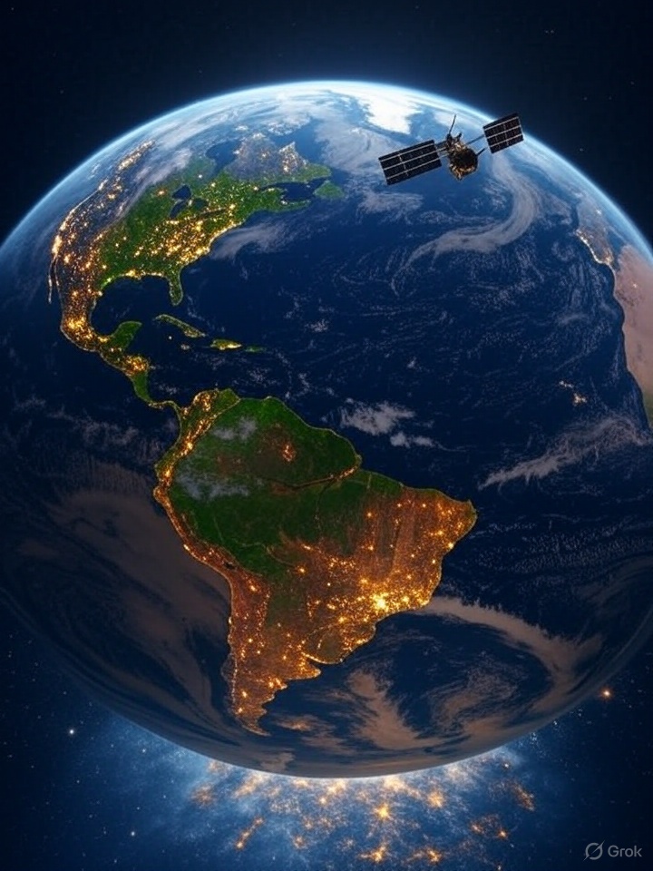
Focus areas and funding imbalances
Satellite data is used in many areas, but they don't all get the same attention or money. Climate change gets a lot of focus because of its global importance, yet researchers often work in isolation, studying ice melt or CO₂ levels without connecting their findings to fields like agriculture or urban planning. That makes it harder to see the full picture of how the planet is changing.
Big companies are putting money into satellite data for farming, such as helping large farms predict crop yields, but small farmers in poorer regions are often left out because the tools are too expensive or too complex. Defense and security projects, like border monitoring, get huge government budgets, but the data is often kept secret, so the public doesn't benefit. Businesses are also using satellites more, for things like tracking store traffic to predict sales. That is growing fast because it makes money, but it doesn't always serve bigger needs like disaster preparedness or poverty reduction.
Implementation challenges
Turning satellite data into practical solutions is hard. Most of the technology and expertise sits in wealthier countries with large space programs, like the United States or European nations, so poorer countries have fewer resources to draw on. A small African nation might want to use satellite imagery to predict droughts, for example, but lack the computers or trained geospatial analysts to work with it. Even when data is available, making sense of it can take powerful computers, storage systems, and complex software, which is a big hurdle for smaller organizations and communities.
Governments and businesses also struggle to turn satellite insights into decisions, such as using flood risk maps to plan evacuations, because the information doesn't always reach the right people or isn't presented in a way they can act on. And a lot of funding goes toward building new satellites or fancy tech, with less for projects that directly help people, like teaching farmers in remote areas how to use satellite data to improve their crops.
Sidenote: You may have noticed that the examples above come from organizations in North America, Europe, and Southeast Asia. That reflects which regions showed up most in satellite data research while I was gathering links, not a lack of global efforts. I hope to follow up with a post on existing use cases in underrepresented regions such as Africa.
Systemic limitations
Some of the problems are structural. The best data and tools are often controlled by rich organizations or countries, so only those with money or expertise can use high-quality satellite images. Poorer regions, which may need the data most for issues like floods or food shortages, often can't afford it or don't have the skills to use it. Checking satellite data against real-world conditions, such as verifying a forest loss map by visiting the area, is also tough in remote places, which makes the results harder to trust.
The people who understand satellites (engineers, for example) and the people who understand local problems (farmers or city planners) also don't always work together, so the data doesn't always solve the right problems. That disconnect keeps satellite data from having the impact it could.
Satellite data platforms and providers
Satellite data comes from government, commercial, and open-source platforms.
Government platforms
- NASA Earth Data provides free access to large archives of Earth observation data, including from Landsat and MODIS satellites.
- European Space Agency's Copernicus Data Space Ecosystem offers free, full, and open access to Sentinel satellite data.
- NOAA's GOES Image Viewer provides real-time geostationary satellite imagery, mainly for weather monitoring.
- JAXA's G-Portal is Japan's platform for accessing data from ALOS and other Japanese Earth observation satellites.
Commercial providers
- Planet operates the largest constellation of Earth-imaging satellites and sells daily imagery at 3-5m resolution on a subscription basis.
- Maxar Technologies provides very high-resolution imagery (30cm) through its WorldView constellation, mainly for government and enterprise clients.
- Airbus Defence and Space offers optical and radar data from its Pléiades and TerraSAR-X satellites at premium prices.
- ICEYE specializes in SAR (Synthetic Aperture Radar) data, which can see through clouds and darkness, with usage-based pricing.
Open-source and hybrid initiatives
- Google Earth Engine is a cloud-based platform that combines free public datasets with scalable computing, so users can analyze petabytes of satellite imagery for environmental and development work. It hosts datasets like Landsat, Sentinel, MODIS, and climate models, and you can reach them through JavaScript and Python APIs. It is free for research, education, and nonprofit use, but commercial applications need paid licenses. If you want more on Earth Engine specifically, I have a post on it: Google Earth Engine: A Useful Tool for Satellite Imagery
- Microsoft's Planetary Computer provides access to petabytes of environmental data, along with computing resources and AI tools for analysis. Its focus is biodiversity and conservation.
- Radiant Earth Foundation creates open-source tools and training data for sustainability applications in developing nations.
- Open Data Cube is an open-source framework for accessing and analyzing satellite data, used by several national programs including Digital Earth Australia and Africa Regional Data Cube.
Data access reality
Data is more available than it used to be, but some barriers remain:
- Commercial high-resolution imagery can cost thousands of dollars per image.
- Free government data often has lower resolution or less frequent coverage.
- Processing raw satellite data can require specialized expertise and computing resources.
- Licensing restrictions can limit how data is used, especially commercially.
The result is a digital divide. The most advanced capabilities stay with wealthy institutions and countries that can afford premium data and the processing to go with it.
The path forward
Satellite data can help with problems as different as deforestation, crop yields, urban growth, and global health, and NASA's Landsat, ESA's Sentinel, and commercial platforms like Planet already support many of those uses. What stands in the way is unequal access to data, technical complexity, funding imbalances, and silos between disciplines. These problems are concentrated in wealthier nations and institutions, and they limit how far the data reaches, especially in underserved regions. Closing the gap will take better technology, but also global collaboration, capacity building, and decision-support systems that turn the insights into something people can act on.
Disclaimer: Some of the images in this post are AI-generated by Grok (xAI).
Up next: Part 2 of 6 in Free Satellite and Climate Data

Copernicus Explained: What Each Sentinel Satellite Measures and How to Use the Free Data
Copernicus is the European Union's Earth observation programme. Its data is free for anyone: you create an account and you can download satellite images of almost anywhere on Earth, often...

